August 24, 2026
Aerial Roof Measurements: How They Work, Their Accuracy, and Free Satellite Options
Author
9 minute read
Share
You can measure a roof without ever leaning a ladder against the house. Aerial roof measurements pull imagery shot from planes, satellites, or drones, then turn it into a report with the area, pitch, and facet breakdown you need to order material and price the job. For a lot of roofers, that is the difference between quoting on the same day the call comes in and losing a week to a site visit that may not even be safe to climb.
This guide covers how aerial and satellite roof measurements actually work, how accurate they are compared to a tape measure, the free options worth trying, and when it makes sense to move past the free route to a paid report or built-in measurement tool. The goal is simple: help you measure faster without guessing on numbers that decide whether a job makes money.
How Aerial and Satellite Roof Measurements Work
Every automated roof measurement starts with an overhead image of the property. That image comes from one of three sources: fixed-wing aircraft flying capture routes, satellites, or a drone flown over the specific address. The source matters mostly for how recent and how sharp the picture is. Aircraft and drone imagery tends to be higher resolution and can be shot from several angles, which helps a report see the sides of a roof, not just the top-down outline.
From there, software measures the roof. Older, free methods let you trace the outline by hand on a flat map. Paid report services do it differently: they use multiple overlapping images of the same roof to build a three-dimensional model, a technique called photogrammetry. Because the model is three-dimensional, it captures slope, not just the flat footprint you would see from directly above. That distinction is the whole ballgame, and it is where most free tools fall short.
A finished report typically gives you total roof area in squares, a per-facet breakdown, ridge and hip and valley lengths, eave and rake measurements, and the predominant pitch. Good reports include a diagram with each plane labeled, so your crew can see what they are looking at before they arrive.
How Accurate Are They, Really?
For a standard residential roof, a quality report built from photogrammetry gets you close enough to order material with confidence. The measurements are drawn from a scaled 3D model, not a guess, and the industry has leaned on them hard enough that many manufacturers and insurance carriers accept them for warranty and claim work.
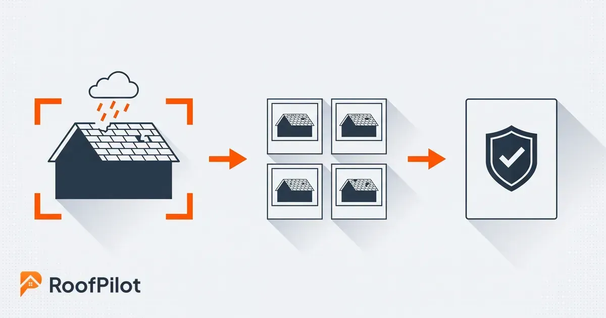
That reliance is worth paying attention to, because it now cuts both ways. Insurers are increasingly assessing roofs from the air before they will write or renew a policy. According to the nonprofit advocate United Policyholders, carriers across the country now use drones, aerial photos, and satellite images to check homes before issuing or renewing coverage, often without the homeowner knowing. For a roofer, that means the imagery your customer's insurer is looking at is the same kind of imagery you can measure from. Accurate documentation on your side is no longer just about ordering shingles. It is about matching the record the carrier is already building.
Accuracy does have limits, and honest operators plan around them. Overhead imagery can be months old, so a recent tear-off, addition, or storm repair may not show. It cannot see the number of existing layers, soft decking, or rot underneath. Very steep, heavily shaded, or tree-covered roofs are harder to model, and complex custom roofs with lots of small planes leave more room for error. None of this makes the reports unusable. It means the smart workflow is to measure from the air first, then confirm the handful of things only a person on site can verify.
What this means for your business: Treat the aerial measurement as your baseline for the quote and the material order, and treat the site visit as a short confirmation of the few things imagery cannot see: layers, deck condition, and anything that changed since the photo was taken. That sequence lets you quote fast without getting burned by a surprise on install day.
Free Ways to Measure a Roof from Above
There is real demand for measuring a roof from satellite imagery for free, and it is a fair place to start, especially for a rough number early in a conversation. The honest answer is that free methods work for a ballpark and cost you accuracy and time.
The most common free method is tracing the roof on public overhead imagery. A tool like Google Earth lets you outline the roof and read back a flat area. County and municipal GIS map viewers offer similar aerial layers for most of the country. Both are genuinely free, and both share the same catch: they give you the flat footprint of the roof, as if it were a parking lot painted on the ground.
Roofs are not flat, so that footprint is always smaller than the real surface you have to cover. To get the true area you have to know the roof's pitch and multiply the footprint by a slope factor. Miss the pitch and you can under-order by a wide margin on a steep roof. If you go the free route, pair it with an honest method for reading slope. Our guide to a roof's pitch walks through how to find it, and our guide to calculate a roof's square footage covers the slope-factor math step by step.
Some measurement-report services also offer a limited free trial or a small number of free reports to start. Those are worth trying to see whether the report format fits how your crew works, but the free tier usually caps how many you can pull, which is fine for testing and a problem once you are quoting every day.
What this means for your business: Free satellite measuring is fine for an early ballpark, as long as you apply a pitch multiplier and never send a bid built on a flat footprint alone. The moment you are ordering material or signing a customer, the few minutes a free trace saves are not worth an under-order that eats your margin.
Free Tool, Paid Report, or Built-In Measurement: How to Choose
The choice comes down to your time and your accuracy, not a spreadsheet of returns. A manual trace plus a pitch calculation is ten to fifteen honest minutes per roof, and it is only as good as your pitch read. A paid report or a built-in measurement tool returns a scaled, per-facet breakdown in minutes, with the slope already accounted for.
There are two ways roofers buy that speed. The first is ordering standalone reports one at a time from a report service. The second is using software that builds measurement into the same place you estimate, propose, and track the job, so the numbers flow straight into your material order and your quote instead of being retyped. RoofPilot takes the second approach: its roof measurement software returns area, pitch, and material quantities already tied to the estimate, so the figure you measure is the figure you order and the figure you bid.
The right fit depends on volume. A roofer pulling a handful of measurements a month may do fine tracing them by hand or buying the occasional report. A crew quoting several jobs a week usually leans on measurement built into the workflow, because the real cost of standalone reports is not the report itself. It is the retyping, the version mismatches, and the number that got copied wrong between the report and the proposal.
What to Look for in a Roof Measurement Report
Not every report is equal, and knowing what a strong one includes helps whether you buy them or build them in. Look for total area in squares with waste factored separately so you can adjust it, a labeled diagram that shows each facet, complete linear measurements for ridges, hips, valleys, eaves, and rakes, and the predominant and per-facet pitch. A report that gives you area but hides the diagram forces your crew to guess at the layout, which defeats the point.
Check the imagery date if the service shows it. A measurement is only as current as the photo it came from, and on a roof that has seen recent work, an old image can be misleading. Finally, make sure the report format is something you can hand to a crew and a customer without translation. The best roof measurement report is the one that everyone from the estimator to the installer can read the same way.
The Bottom Line
Aerial and satellite roof measurements let you quote faster and order material with real numbers instead of a windshield guess. Free tools built on flat overhead imagery are a reasonable starting point, but only if you apply a pitch multiplier and treat the result as a ballpark. For anything you are ordering or bidding, a photogrammetry-based report or built-in measurement tool is the dependable choice, saving real time and preventing the under-orders that eat into a job's margin. Whichever route you take, measure from the air first, then confirm on site the few things a photo cannot show. That is how you keep your quotes fast and your margins intact.
Related reading: